
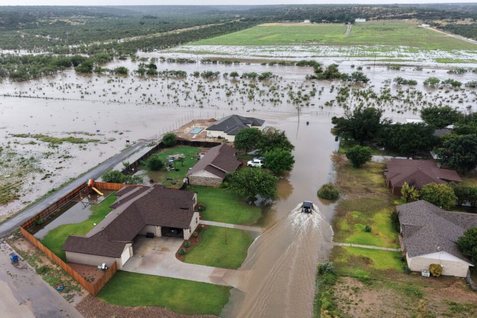
Over the last two weeks, the United States has faced numerous flash flood emergencies, highlighting the perilous aspects of July. This month has witnessed several unprecedented rainfall events, with significant rainfall occurring across the nation, and July is still ongoing.
Flash flood emergencies represent the most severe flood alert level, and over a dozen have been declared nationwide during this month. This brings July 2026 close to breaking the monthly record for such alerts.
A 1,000-year flood event affected Texas Hill Country from July 15 to 17. Certain regions received nearly an entire year’s worth of rainfall within a few days, unleashing deadly torrents down rivers and streams. The likelihood of such a flood occurring in any given year is just 0.1%. However, this marks the second consecutive year that this area of central Texas has faced such an event.
This incident is part of a larger trend of flash flood emergencies that have been declared across the country. In the last two weeks, there have been 15 flash flood emergencies, with West Virginia experiencing record flooding on Tuesday night; Utah faced flooding in a wildfire burn scar on Sunday; and Missouri’s 1,000-year rainfall event occurred the week prior to Texas, prompting rescues of campers from rooftops and trees.
Flash flood emergencies are typically rare occurrences that indicate a significant risk to life and the potential for severe damage due to extreme rainfall, as defined by the National Weather Service. However, instances of heavy rainfall are becoming increasingly frequent due to global warming.
🌊 Use the USdaily Weather app to monitor local flood risks
A report published in April by the research organization Climate Central revealed that among 144 U.S. cities studied, 90% experienced an increase in hourly rainfall intensity from 1970 to 2025. In the 129 cities that recorded these increases, average hourly rainfall rates are now 15% higher than they were decades ago, with rising rates observed in all regions of the country.
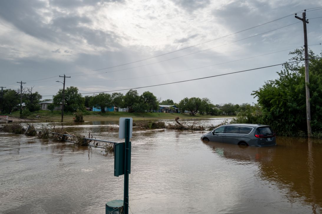
The driving force behind these patterns is anthropogenic climate change. For every 1 degree Fahrenheit increase in temperature, the atmosphere can hold an additional 4% of water vapor. The average temperature in the United States has risen nearly 3 degrees since 1970, as determined by Climate Central, resulting in a significant rise in available water vapor for intense downpours. Additionally, warming oceans contribute to this increased atmospheric moisture.
Storms utilize this additional moisture, producing heavier rainfall, a phenomenon long predicted in national climate reports. We are now witnessing these predictions manifesting in reality, resulting in devastating impacts on the ground.
The frequency of flash flood emergencies in the United States has been on the rise this year, with a total of 32 recorded as of July 21. While this year has not yet matched the 49 emergencies recorded by 2025 or the 38 warnings in 2024, nearly half of 2026’s flood emergencies have occurred in July alone, many of which have been catastrophic.
The year 2024 holds the record for the highest number of flash flood emergencies in a single year, totaling 93 warnings. Last year recorded 55 emergencies, the second-highest number on record. Although 2026 is currently lagging behind this annual record, if the trend of flooding continues this summer, it may quickly catch up.
Significant flooding occurred in parts of Upshur County, West Virginia, on Tuesday afternoon and evening, following over 5 inches of rain falling within approximately six hours. The National Weather Service described this situation as “particularly dangerous.”
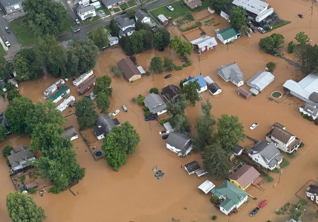
A stream gauge in the affected flood area rose above 10.6 feet on Tuesday night, surpassing the previous record of 8.3 feet set during a devastating flood in 1985. This is the first time in approximately 80 years of recorded measurements that this gauge has reached a major flood stage.
More flash flood emergencies may arise before the end of the month, as moisture from Tropical Storm Bertha merges with a stalled cold front over the southern Mid-Atlantic and Carolinas, potentially delivering up to a month’s worth of rainfall from Wednesday through the weekend.
Some severe flash flooding incidents have occurred without the “emergency” designation but have still caused significant damage and disruption.
For instance, New York faced dramatic weather changes on July 18, transitioning from a heat wave and smoke from Canadian wildfires to flash flooding caused by slow-moving thunderstorms that dropped several inches of rain in a brief time. Water flooded into subway stations and stranded vehicles on city streets.
Flash flood warnings were reissued for New York City and surrounding areas as thunderstorms progressed through the region on Tuesday afternoon and evening.
The infrastructure in the city is not equipped to handle the higher rainfall rates associated with a warming climate, resulting in increasingly frequent and severe flash floods in New York City. For example, in 2021, flooding from Hurricane Ida’s remnants claimed the lives of 13 individuals, some of whom were trapped in basement apartments.
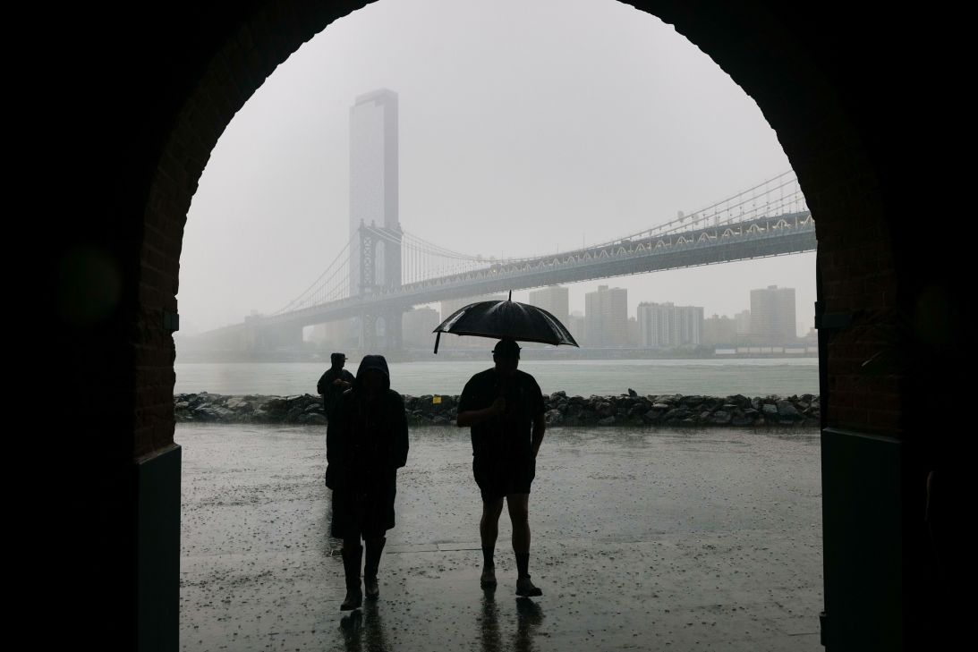
New York is not alone in its struggles, as many urban areas are grappling with outdated stormwater systems designed for a climate that no longer exists. However, the challenges faced by New York exemplify the issues that numerous other cities are confronting.
The stormwater system in New York is only equipped to handle rainfall of up to 1.75 inches per hour, but this threshold is increasingly being surpassed. During Hurricane Ida’s remnants in 2021, over 3 inches of rain fell within one hour, setting a record and causing the stormwater system to back up into basements, subway systems, and drains, flooding streets.
This July has been particularly remarkable for its severe flooding events that have impacted various regions across the country, and there appear to be no indications of an impending dry spell.
With the ongoing effects of climate change, the frequency of flash flooding seen this July, as well as in the past two years, may soon become the expected norm for the mid-summer season.
